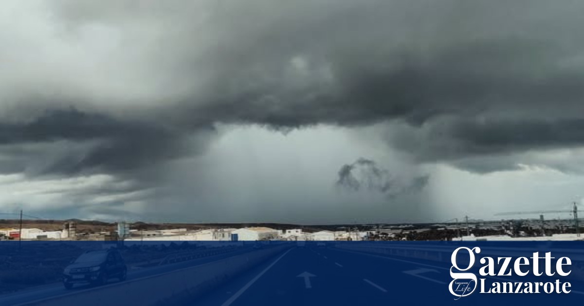
Meteorologia Lanzarote, a local Facebook page, claims that Saturday’s intense storm in Arrecife and Costa Teguise was due to a convergence of opposing winds, pushing rain clouds into a tight, localised band.
“Cold air at altitude, a weak synoptic forecast, breezes and daytime heat – a perfect cocktail for this type of meteorological phenomenon” writes the author, saying that while it is relatively easy to forecast these phenomena a few hours ahead, it is extremely difficult to predict exactly where they will occur on a small island.
On Saturday, breezes coming in from the sea to the south met north-west winds along the central volcanic ridge of Lanzarote, shepherding rainclouds up to the zone over Arrecife, Tahiche and Costa Teguise, where the rain fell. A photo on the page shows a huge column of rain over Costa Teguise.
It’s not the first time this has happened, claims the author – for example, it happens quite often at sea, where it goes unnoticed. It also occurred on March 3rd between Masdache and El Islote, when 60 mms of rain fell in a very short space of time. However, as the rain was absorbed by the earth and did not cause floods, it was also unnoticed


Leave a Reply
Want to join the discussion?Feel free to contribute!