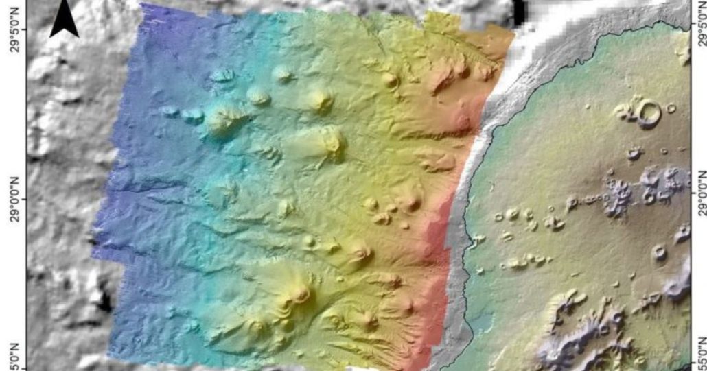
A scientific expedition has mapped over twenty underwater volcanoes originating from the Timanfaya eruptions of 300 years ago.

The project, by Spanish Oceanographic Institute, is the first time anyone has mapped the eruptions that took place top the west of the island.
“The Canaries form a volcanic archipelago on which we can see lots of mountains if we look at the surface, but the same things exist under the sea,” said scientist Ramón Margalef.
The project, which started with the eruption of the underwater volcano of Tagoro off the coast of El Hierro in 2011, has mapped more than 100 square kilometres of the ocean bed off Lanzarote’s coast, taking high-resolution photographs and extracting samples.


Leave a Reply
Want to join the discussion?Feel free to contribute!