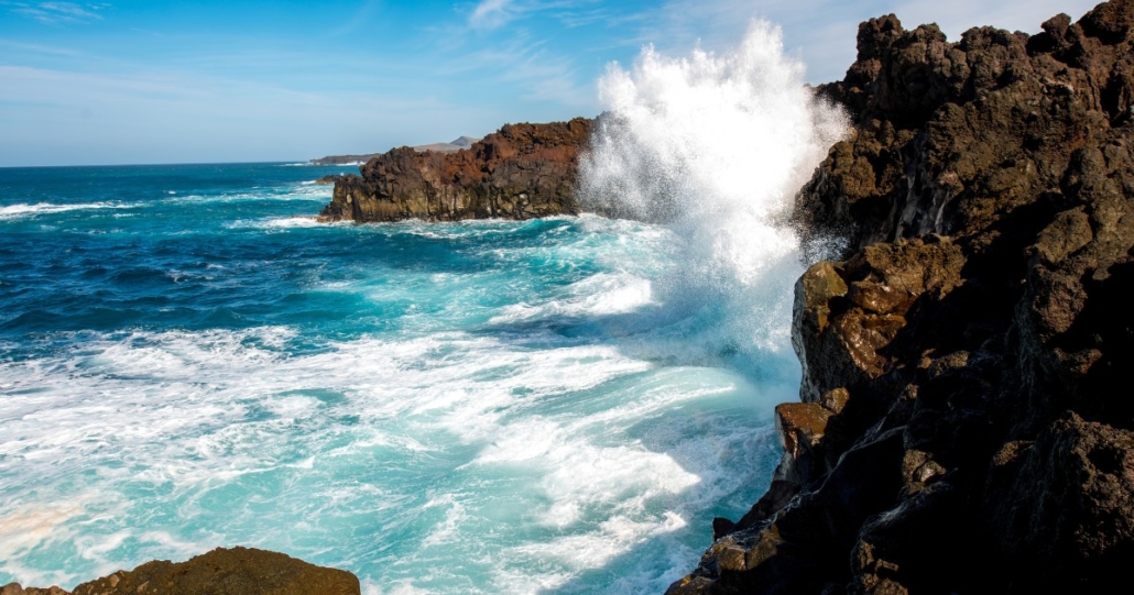
The Government of the Canary Islands has maintained the state of pre-alert for rough seas on the northern and western coasts of Lanzarote.

The pre-alert was renewed at 5pm yesterday as waves of up to 4 metres are predicted to reach the coast, combined with a large Atlantic swell. Anyone considering activities such as fishing or hiking close to the 65 km coastline should exercise precaution, while bathing would be even more dangerous than it usually is.
The cooler temperatures that followed the unseasonal heatwave earlier this week are also predicted to continue, with averages of around 20 degrees Celsius. Days are likely to be cloudy in the morning with the sun breaking through in the afternoon.
Things may get even cooler and wetter, as minimum temperatures of 15 degrees are forecast for the middle of next week, while maximum temperatures will remain in the low-to-mid 20s.
AEMET is currently predicting a 100% probability of rain on Thursday as a large storm brews hundreds of miles north of the Canaries. This storm will shift wind direction from the prevailing northern alisio winds to a south-westerly, and on Lanzarote south-westerly often means wet.
Although islanders know that any forecast beyond three days can change quickly, it would be wise to keep an eye on conditions as the week progresses. When the planes start landing from the north and taking off over the sea, it’s a bad time to wash your car.


Leave a Reply
Want to join the discussion?Feel free to contribute!